Welcome to Bersted Parish Council
Welcome to the Bersted Parish Council website where you can find information relating to the Council’s business, look for jobs, report problems, check out what’s on and, if you are new to the parish, find most of the local information you need to know.
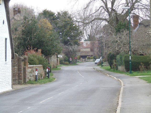
Bersted is a historic village that can trace its origins back to the 7th Century. While South Bersted has merged into the Bognor Regis conurbation, North Bersted has become known simply as Bersted. Its eastern boundary is formed by a small stream that joins the Aldingbourne Rife, which itself forms the west boundary for a short distance before turning south-east to run across the parish. The church and village of South Bersted lie between the road to Aldingbourne, here running north-east, and that to Chichester, running north-west. Just off the latter road is the original hamlet of North Bersted with a mission church of the Holy Cross built in 1904.

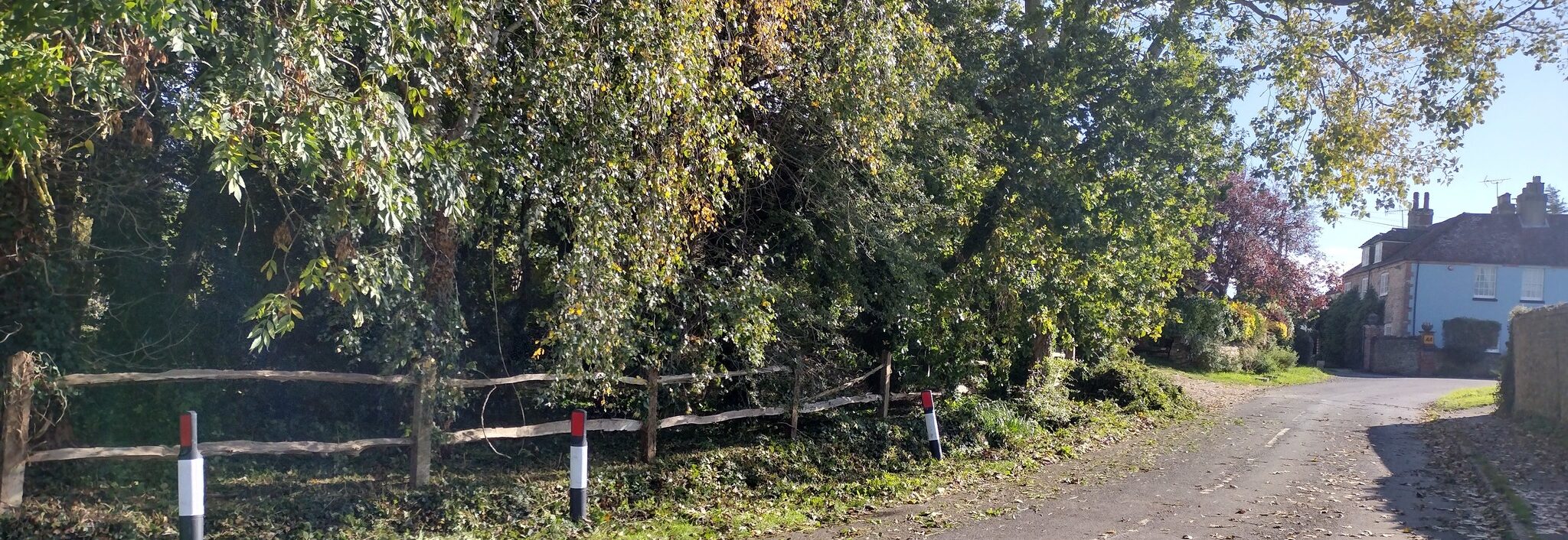
Parish Boundary
Today Bersted is a rapidly growing parish largely due to the twin housing developments of Willows Edge and Bersted Park which are situated on former Church land immediately to the north of the Chichester Road. In addition to the growth in housing there has been much industrial & business growth in the east of the parish with a newly constructed Rolls Royce storage and distribution centre situated to the north of the former Oldlands Farm. Additional retail units have sprung up nearby along the Shripney Road such that Bersted now hosts much of Bognor’s out of town retail facilities.
Click on the map to view a PDF copy: